
DIGITAL SOLUTIONS
Inclinalysis Digital Inclinometer Software
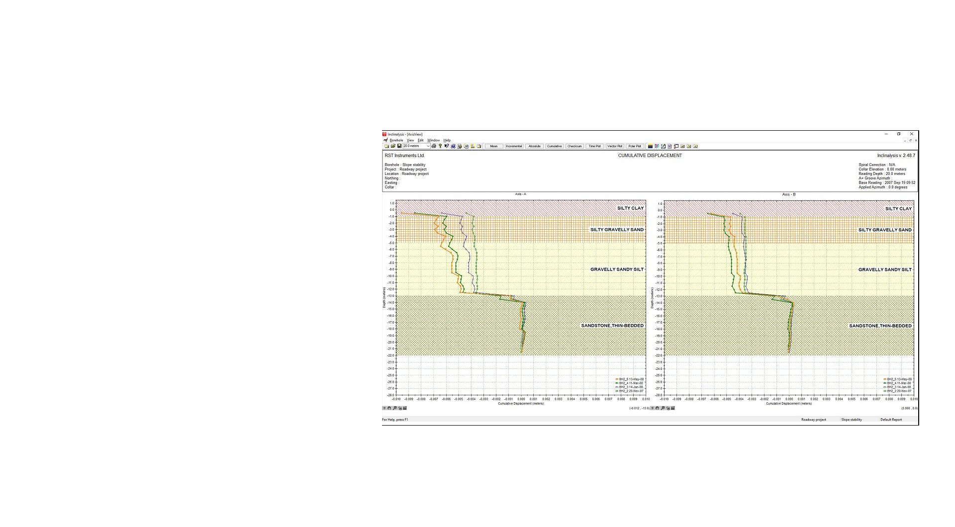
RST Inclinalysis™ Software is powerful and easy to use. Plotting, manipulating data and printing are all only a few clicks away. Menu and plot functions are designed to be intuitive making the program very easy to learn.
Overview

Overview
Using a multi-document interface, the user is able to view several data plots simultaneously on the screen at one time. Intuitive single-click buttons allow the creation of plots within seconds. Plots can be saved as individual reports allowing the flexibility to load multiple specialized plots for a single borehole data set. A universal depth increment drop-down box highlights data across multiple windows allowing the user to directly compare data across several plot types at once.
In addition to industry standard plot types, Inclinalysis™ includes the option of time and vector plots. Vector plots display the change in magnitude and direction for either a specific depth increment or over a user-defined movement zone. Combined with the time plot, these are very useful tools in viewing and determining the rates of movement in specific zones of interest. Checksum data can be plotted at the click of a button to gauge data quality.
RST Inclinalysis™ Software is powerful and easy to use. Plotting, manipulating data and printing are all only a few clicks away. Menu and plot functions
are designed to be intuitive making the program very easy to learn.
Visit the downloads section below to retrieve Inclinalysis demo and other files. Add this product to your quote and submit to speak with a representative. By downloading software from the RST Instruments website you agree to the terms of our license agreement. Please read it here before downloading. <does this content need updating>
Features and benefits
Features and benefits
RST Inclinalysis™ Software is a powerful companion to the RST Digital MEMS Inclinometer System and the MEMS Horizontal Inclinometer System. It allows the user to quickly and efficiently reduce large volumes of inclinometer data into a variety of formats suitable for analysis and presentation.
Resources
Resources
Industries
Industries
Energy

Surface metal

Underground mining

Civil infrastructure
Related products

Digital Solutions
RSTAR Affinity Digital Suite

Digital Solutions
Spiral File Format Converter

Digital Solutions
Digital Inclinometer App

Digital Solutions
DT Logger Host Software

Digital Solutions
RSTAR RTU Host Software

Digital Solutions
RST Readout Host Software

Digital Solutions
C108 Pneumatic Readout Software

Digital Solutions
IPI Utility Software

Digital Solutions
portable tilt meter host software

Digital Solutions
Tilt Meter Host Software

Digital Solutions
VW Analog Interface Software
Contact an expert
Contact an expert